
Supply chain mapping software, from your tier 1 suppliers to the farmKnow every supplier, down to the farm
Know exactly where your products come from, down to the farm, with answers from the suppliers themselves. Ready when a regulator or customer asks.
First-hand data, not guesses
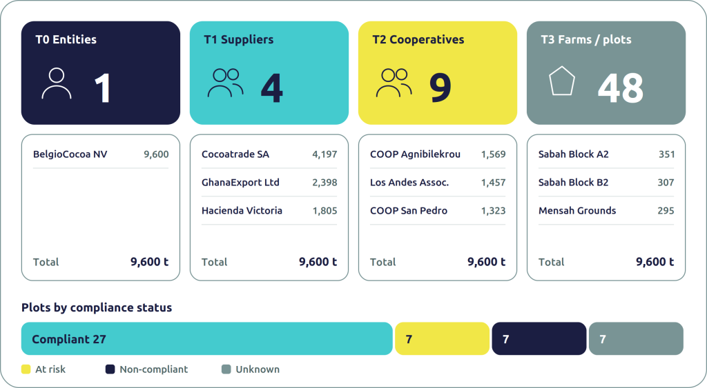
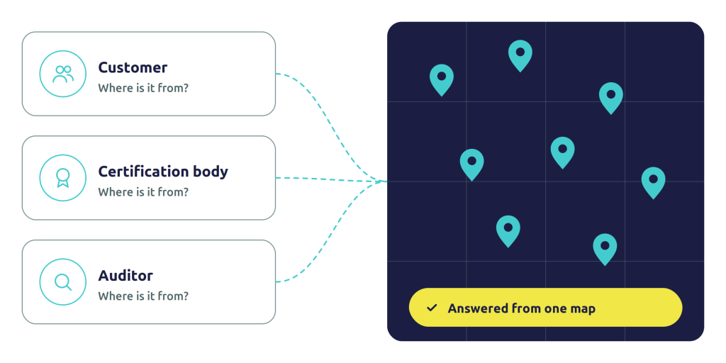
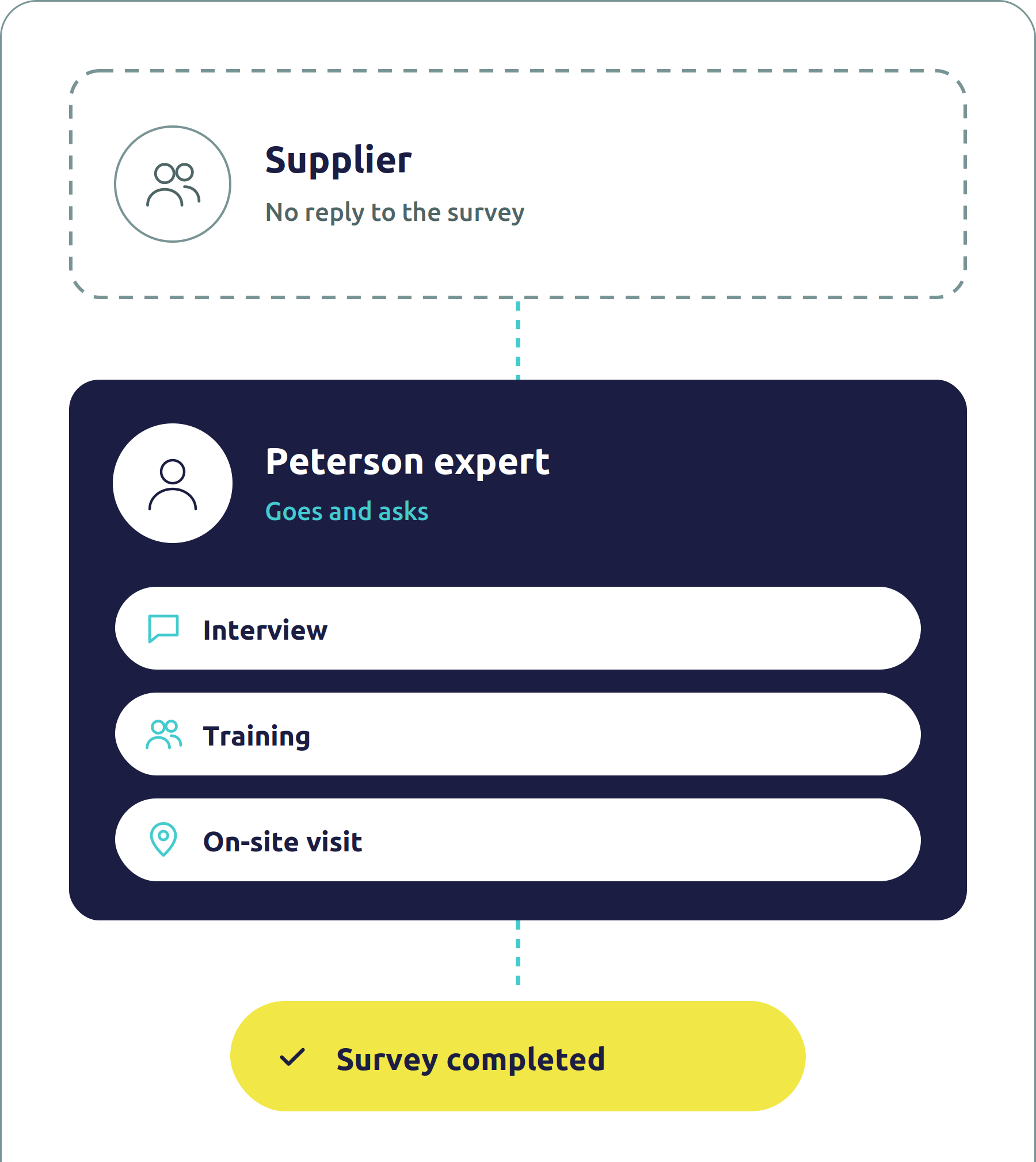
Our supply chain mapping software sends one survey down your supply chain, from your direct suppliers to the farm, and shows every answer on a live map built on Esri ArcGIS. You get multi-tier supply chain visibility based on what your suppliers tell you, not on guesses. And when a supplier can’t fill it in, Peterson experts go and ask.
- From the suppliers themselves. Every link in your map comes from the supplier who knows it, not from trade records or an algorithm’s best guess.
- Down to tier 3 and the plot. One survey chain, from your direct suppliers to the farms they buy from, with the location of each site and farm.
- On a real map. Built on Esri ArcGIS, so your supply chain is a map you can filter and analyse, not a diagram.
You can’t manage what you can’t see
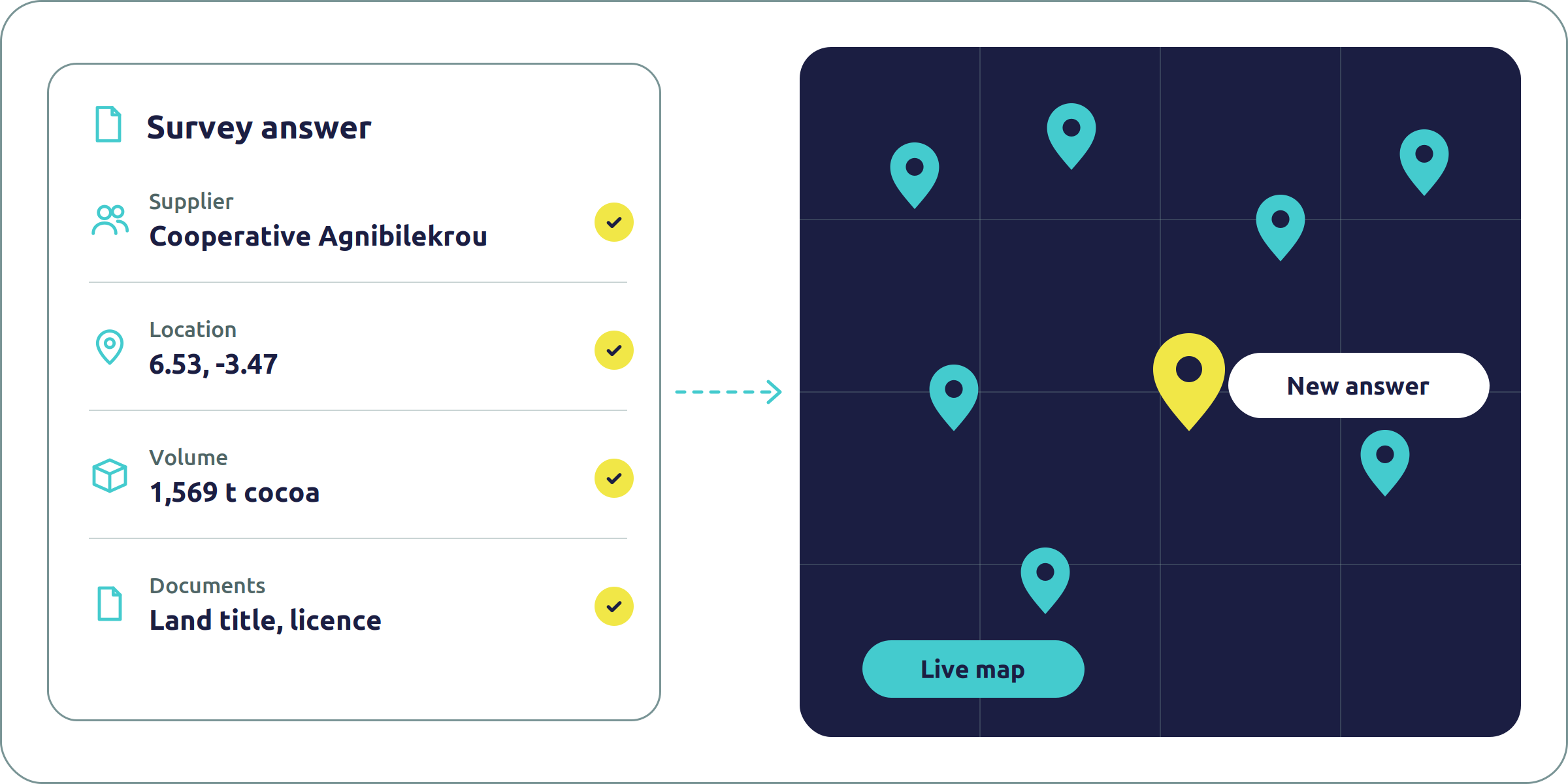
Most companies know their direct suppliers well. Below that, the picture fades. And that’s where regulators, customers and auditors now ask questions.
Our supply chain mapping software collects the data where it starts, and keeps it on one live map.
- The chain disappears after tier 1. Your suppliers buy from traders, processors and farms you’ve never heard of. Without them on the map, you can’t answer where your products come from.
- Spreadsheets don’t travel down the chain. Questionnaires sent by email come back late, incomplete or not at all, and nobody can tell which version is the right one.
- Guesses don’t hold up. Supplier links inferred from trade data or desk research can look complete, but they fall apart when a customer or an auditor asks for proof.
How the supplier mapping works, step by step
Step 1
Set the scope
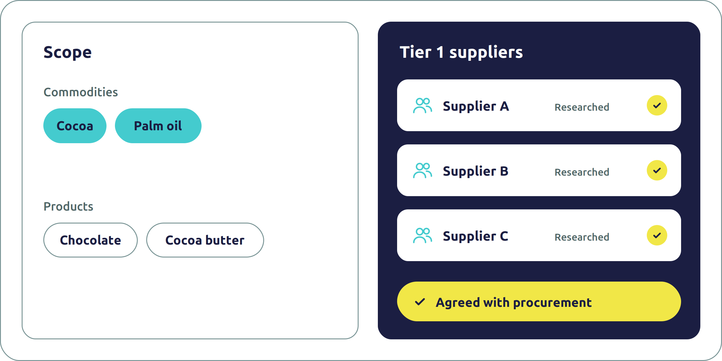
We agree with your procurement team which products, commodities and suppliers to map, and research every tier 1 supplier before the survey starts.
Step 2
Send the survey down the chain
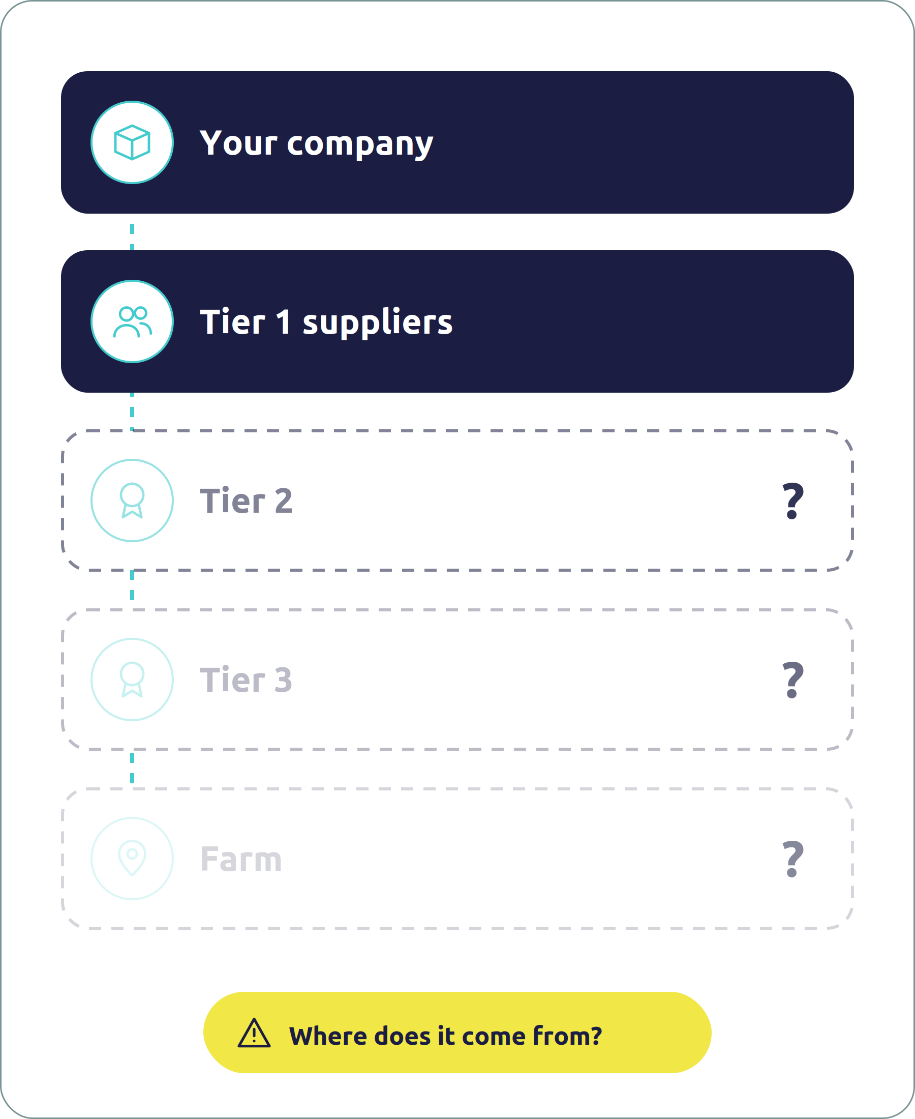
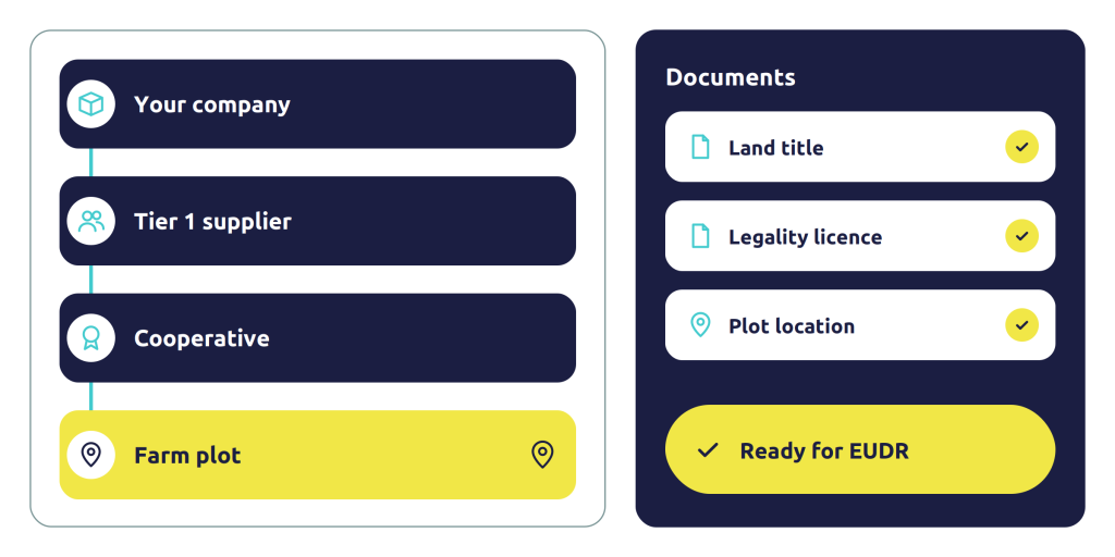
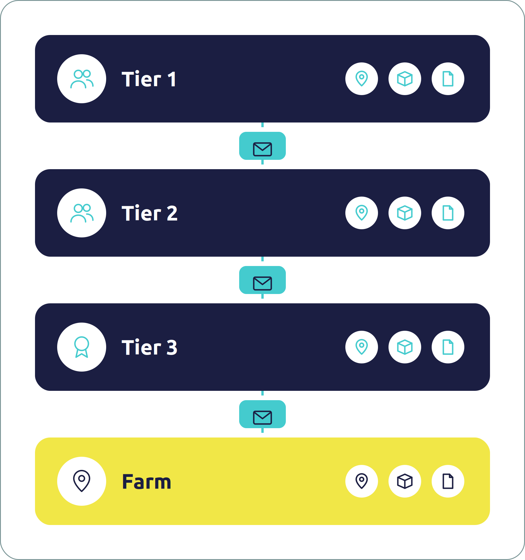
Your tier 1 suppliers answer the survey and pass it on to their own suppliers, and so on down to tier 3 and the farm. It collects locations, volumes and legality documents.
Step 3
Check the data as it arrives
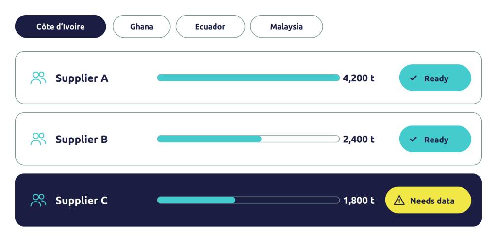
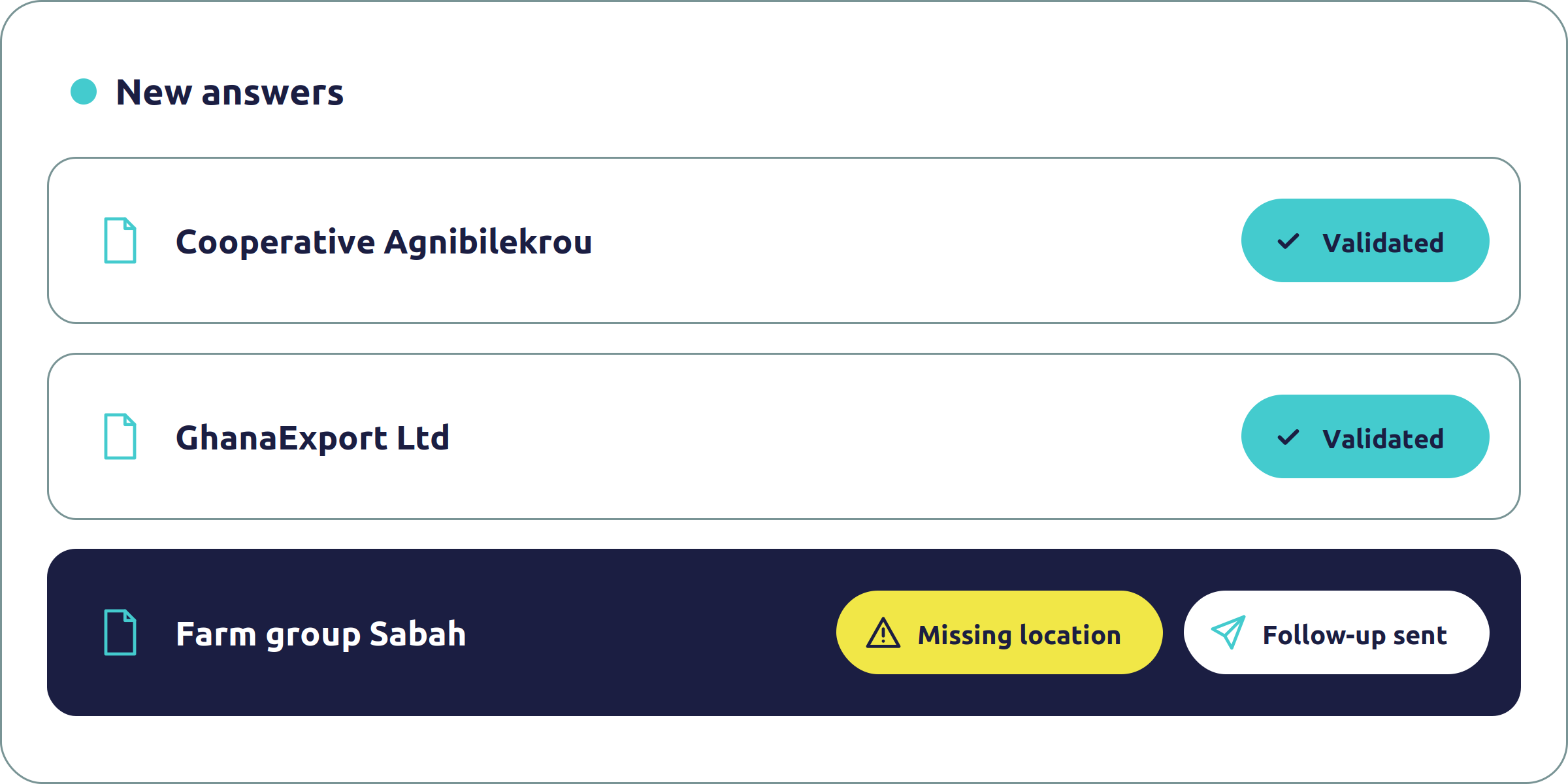
Answers appear on the supplier mapping dashboard as they come in. Our team reviews and validates them, and follows up on what’s missing.
Step 4
Use the map
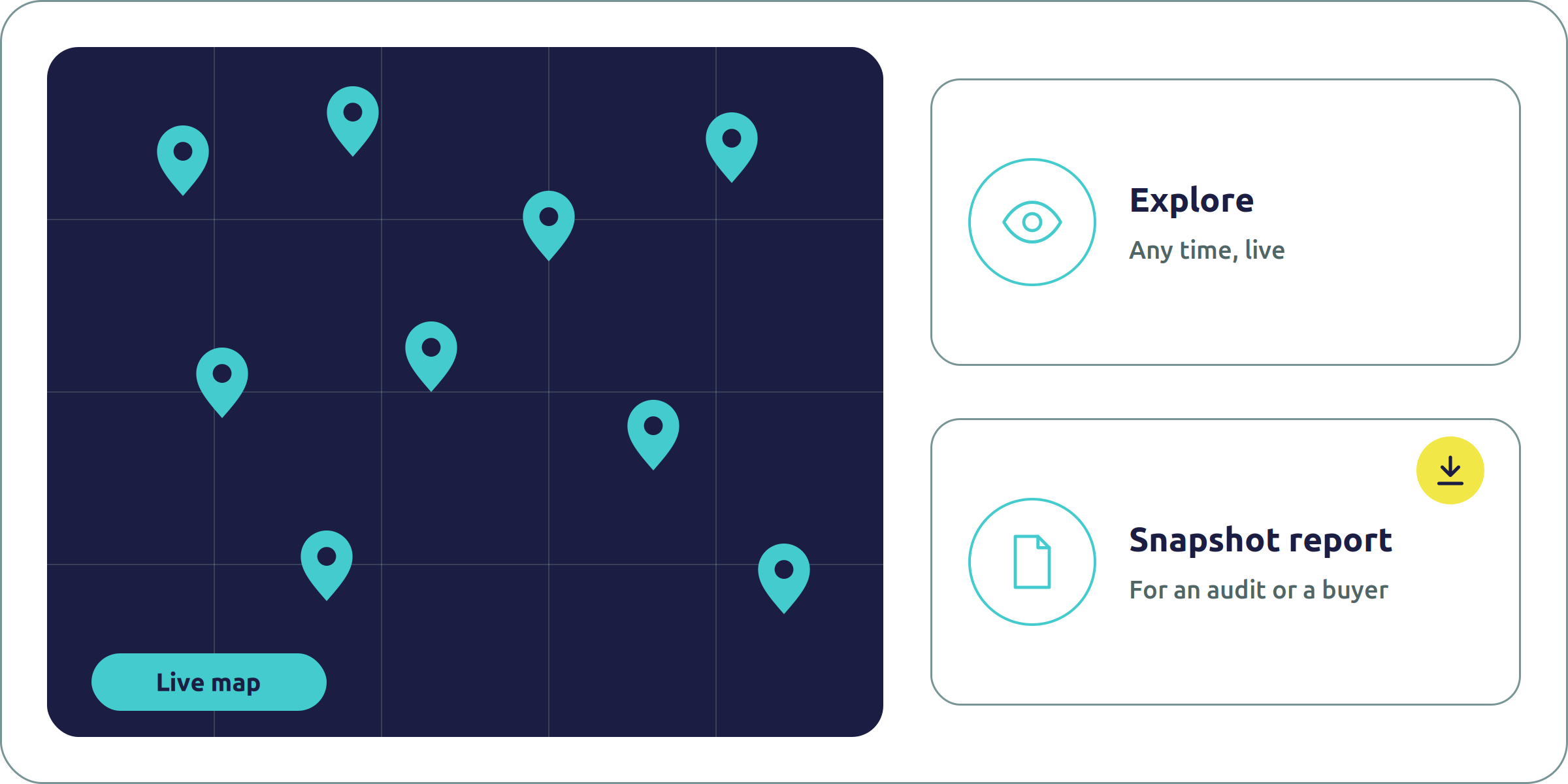
Explore the live map and dashboard at any time, or take a snapshot report for an audit or a buyer.
See the supplier map for yourself
Take an interactive tour of the survey and the live mapping dashboard.
When a supplier can’t fill it in, we go and ask
A survey is only as good as the answers it gets. Many suppliers deep in the chain have no time, no digital tools or no reason to reply to an email. That’s where most mapping stops. Ours doesn’t, because supplier engagement is part of the job.
Want us to run the mapping project for you? See our supply chain mapping services →
Talk to our experts
- We interview suppliers. Our teams contact suppliers directly, interview them and complete the survey with them, in person where needed.
- Or we train them. We train your suppliers, one by one or in groups, to complete the survey themselves.
- On-site visits as an option. We can visit suppliers to check what they’ve declared.
- Your level of support. Use the software on your own, with our experts alongside you, or have us run the whole mapping project.
The experts behind your supplier map
Behind the software there is a team you can talk to, who know supply chains and sourcing regions, and who follow up with suppliers when the answers don’t arrive.

Caio Lourencini Cavellani
GeoServices & Data Analytics Manager, Peterson Technologies
Caio Lourencini Cavellani is GeoServices & Data Analytics Manager at Peterson Technologies, a geographer leading georeferenced data solutions for supply chain traceability and land use analysis.

Rafael Mora
Product Lead, Data Analytics, Peterson Technologies
Rafael Mora is Product Lead for Data Analytics at Peterson Technologies, working on the data and analytics behind its software products.

Natalie Sluggett
Sustainable Supply Chains Lead, Peterson Solutions
Natalie Sluggett is Sustainable Supply Chains Lead at Peterson Solutions in the UK, working on responsible sourcing and deforestation-free supply chains, including EUDR compliance programmes.

Casandra Ferrazzini
Sustainability Consultant & Project Leader, Peterson Solutions Iberia
Casandra Ferrazzini is a Sustainability Consultant and Project Leader at Peterson Solutions in Madrid, leading EUDR projects for Peterson Iberia. Casandra holds a master’s in Forest Sustainability.